
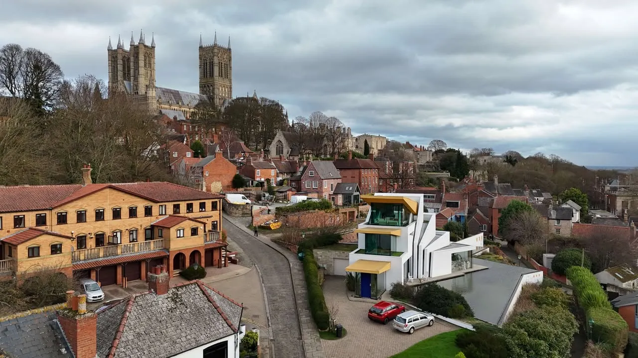
Measured Building Surveys in Lincoln & Nottinghamshire
Accurate measured building surveys and topographic surveys — precise floor plans, elevations, sections and site data for architects, developers and homeowners across Lincoln, Lincolnshire and Nottinghamshire.
What is a measured survey?
A measured survey is a precise, scaled record of a building or site — capturing dimensions, levels and features to produce accurate floor plans, elevations and sections. It gives architects, designers, developers and homeowners a reliable base to plan extensions, conversions, refurbishments and new build.
We deliver clean CAD and PDF drawings — or BIM models where required — with a fast turnaround. Accurate data up front saves costly mistakes later on site.
Measured & land surveys
A full measured survey service, delivered in the formats your project needs and with a fast, reliable turnaround.
Measured building surveys
Accurate floor plans, elevations, sections and reflected ceiling plans for existing buildings.
Topographic & land surveys
Detailed site surveys showing levels, boundaries and features for planning and design.
Setting out
Precise setting out on site so structures are built exactly where the drawings intend.
Verified views
Accurate photomontages and verified views to support planning applications.
Lease & Land Registry plans
Compliant plans for leases and Land Registry, drawn to the required standards.
CAD & BIM deliverables
Drawings supplied as DWG (CAD), PDF or, where needed, a BIM / Revit model.
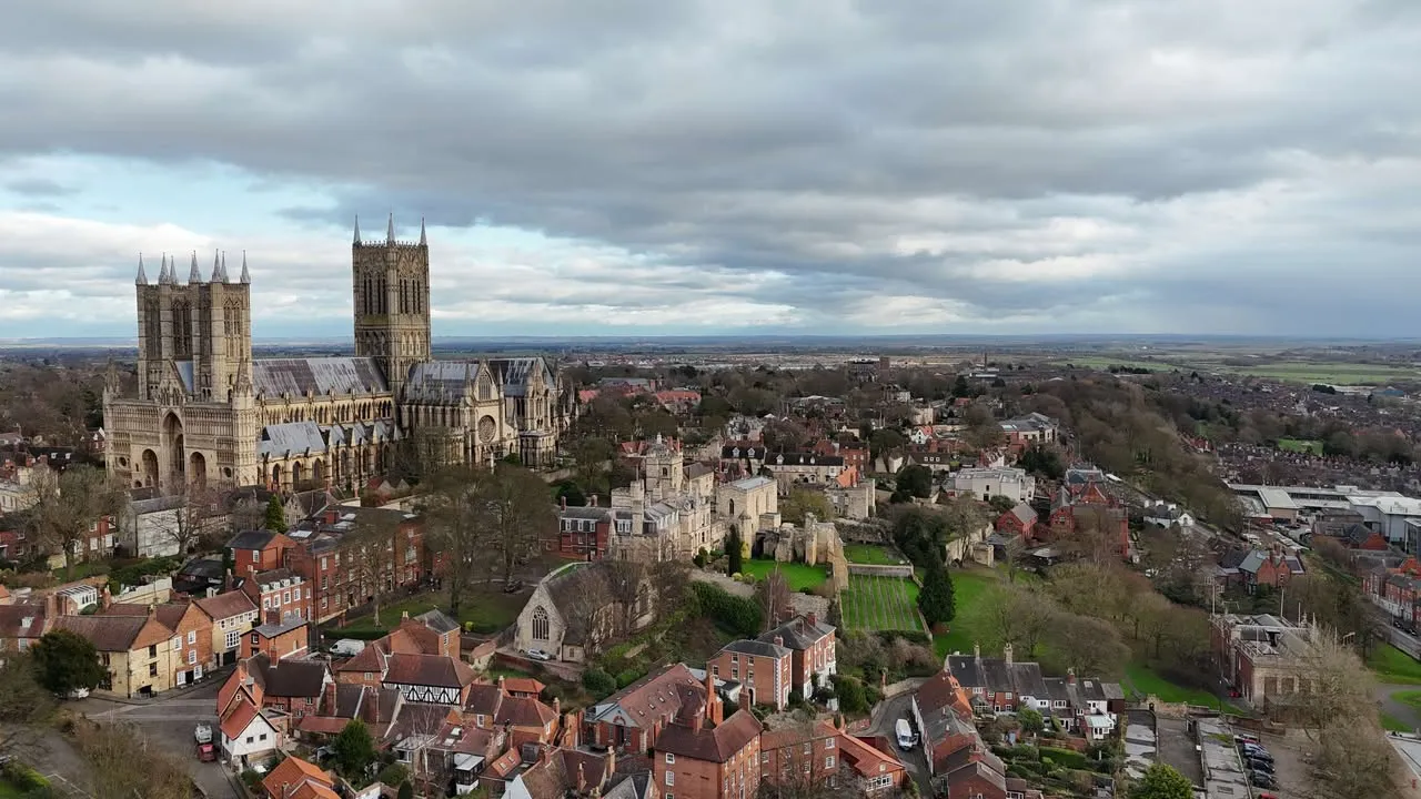
Accurate data — so your project starts on solid foundations.
What you’ll receive
- Scaled floor plans, elevations and sections
- CAD drawings (DWG) ready for your architect or designer
- PDF drawings for planning and building control
- Topographic site plans with levels and features
- BIM / Revit models where your project requires them
- A fast, reliable turnaround with a clear fixed fee
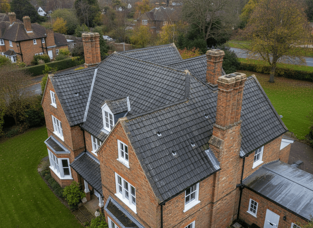
Accurate data, delivered fast
We use modern survey equipment to capture buildings and sites precisely, then deliver everything in the formats your team works in. Need condition advice too? See our building surveys and defect reports.
From a single house extension to a full development site, we scale the survey to your project and your programme.
Measured surveys across the East Midlands
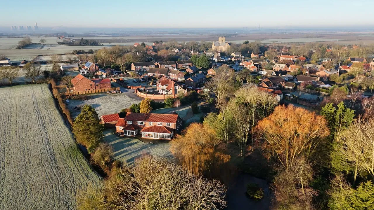
Based in Lincoln, we carry out measured and topographic surveys across Lincolnshire, Nottinghamshire and the surrounding counties. View all areas we cover.
Measured survey FAQs
What is a measured survey?
A measured survey is a precise, scaled record of a building or site, used to produce accurate floor plans, elevations and sections. It gives architects and designers a reliable base for planning and building work.
What formats do you deliver?
We supply CAD drawings (DWG), PDF drawings, and BIM / Revit models where required — whatever your project team works in.
Do you provide plans for leases and Land Registry?
Yes. We produce compliant lease plans and Land Registry plans drawn to the required standards.
How accurate are measured surveys?
We use modern survey equipment to deliver high-accuracy, scaled drawings suitable for design, planning and construction.
How much does a measured survey cost, and how quickly can you deliver?
Cost depends on the size and complexity of the building or site. We provide a clear fixed quote and a fast turnaround — tell us your deadline and we’ll work to it.

Request a measured survey quote
Tell us about the property and we’ll recommend the right survey with a clear, competitive fixed fee.
Thank you — enquiry sent
We’ve received your details and will be in touch shortly. For anything urgent, call 01522 438989.